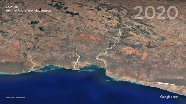
The first update since 2017 has appeared in Google Earth - in the Timelapse service, and you can now see how different parts of the planet have changed over time. This was made possible by 24 million satellite images from 1984 to 2020. All these frames were collected into one large video mosaic, which became the world's largest video. Its size is 4.4 terapixels, which is about 530 thousand 4K videos. To showcase the results of this impressive work, Google shared comparisons of how cities, forests, and glaciers have changed over 36 years of filming.

Google earth pictures
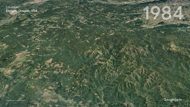
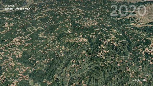
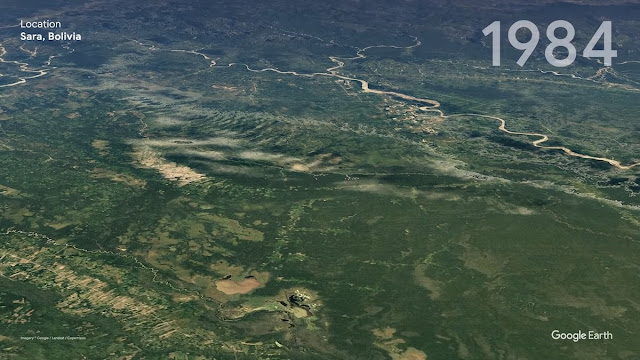
According to Google, such a project helps to observe the development of cities and show man's influence on the world around it. As cities grow, forests are cleared, and glaciers are melt. Frist image Google earth
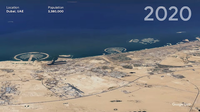
Dubai, UAE
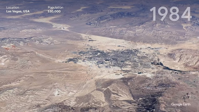
Las Vegas, USA
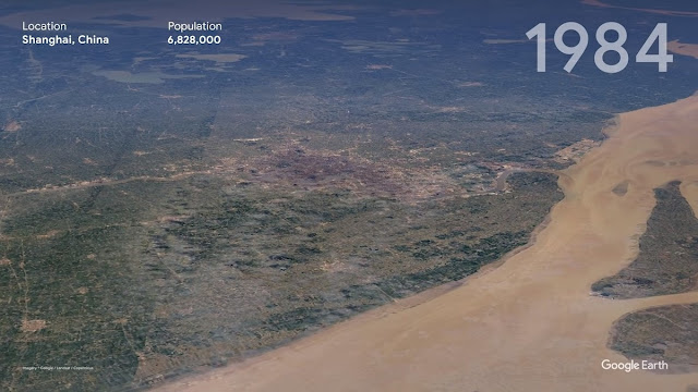
Shanghai, China
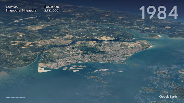
Singapore
Recently, NASA released images from the satellites, which also showed the changes on our planet over the past few years.
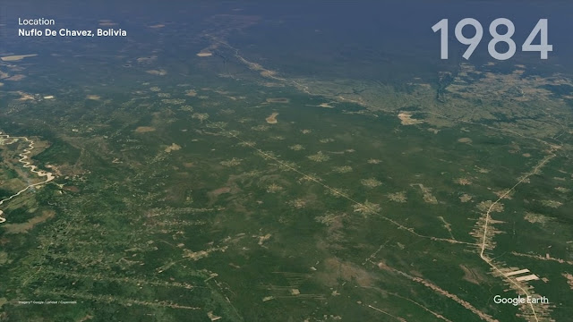
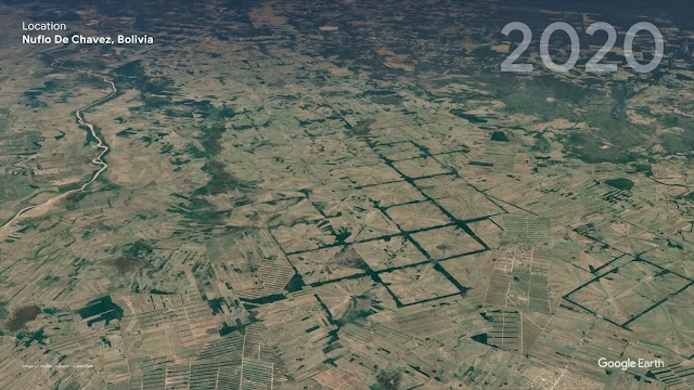
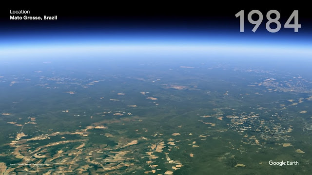
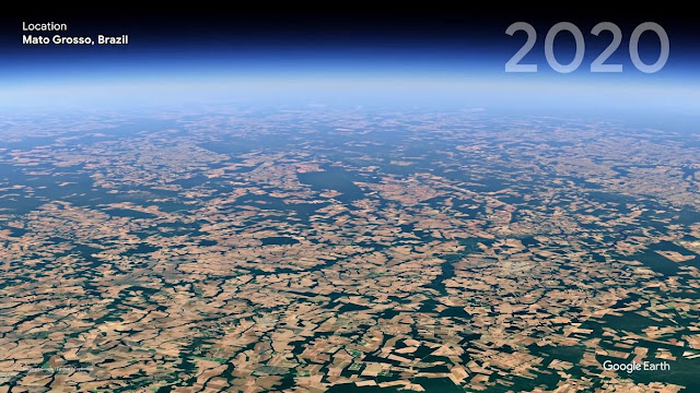
But what changes have happened to the forests - for example, Newflo de Chavez, Bolivia
Google earth Google earth photos
The coronavirus has also contributed to the way the Earth began to look from space. Here are some videos and
images that have been affected by the change in the pace of life in large cities due to the pandemic.
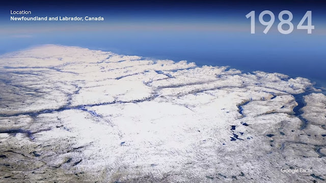
How glaciers melted in different parts of the planet.
Canada, province of Newfoundland and Labrador.
Google earth
Columbia Glacier, Alaska, USA
Google earth
Milius-Erichsen Land, Greenland
Google earth
You can watch the video, which will show in detail how all these places have changed over the course of 36 years,
here .











No comments:
Post a Comment